Orientation
1.01 Namibia's position in the world
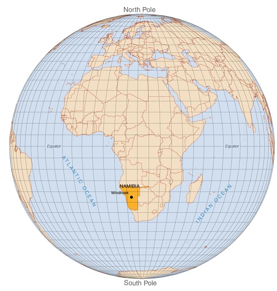
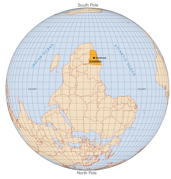
Most of us are accustomed to seeing Namibia's position on Earth as shown on the first globe, where Angola is above, South Africa below and Botswana is to the right. This is how convention places and sees Namibia. Norms are useful, but it is also worth – and fun – thinking in different ways, and seeing things from another angle, such as the upside-down globe on the right.1
1.02 Windhoek's lengthy journey across Earth2
Namibia hasn't always been where it is on Earth now. At times it was over the South Pole and at other times far to the west. This map traces how the approximate location of Windhoek has shifted over the last 550 million years, which is about the time that the supercontinent of Gondwana started to form. The continents then looked quite different from how they look today. For example, Africa and South America were joined as recently as 132 million years ago. Where will Namibia's capital city be in 100 million years from now?
1.03 Map projections
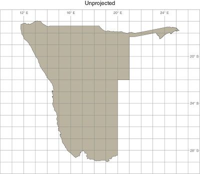
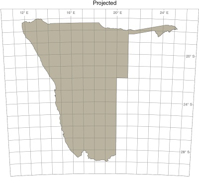
Transferring the positions of places and objects that are arranged on a curved surface, such as that of Earth, onto a flat surface like the page of this book, is not easy. Some distortion must occur, like an orange peel being squashed onto a flat plate. Cartographers, the people who draw maps, use map projections to minimise these distortions. This is done by transforming – or projecting – the locations of places and objects on the surface of the earth (usually measured in degrees of latitude and longitude) into locations on flat paper. There are many types of transformations – or projections – each a balance between retaining and distorting the various properties of the surface as it is on the globe. Some projections reflect shapes or orientation quite accurately, but distort areas and distances significantly. Others preserve area, but distort shapes, for example.
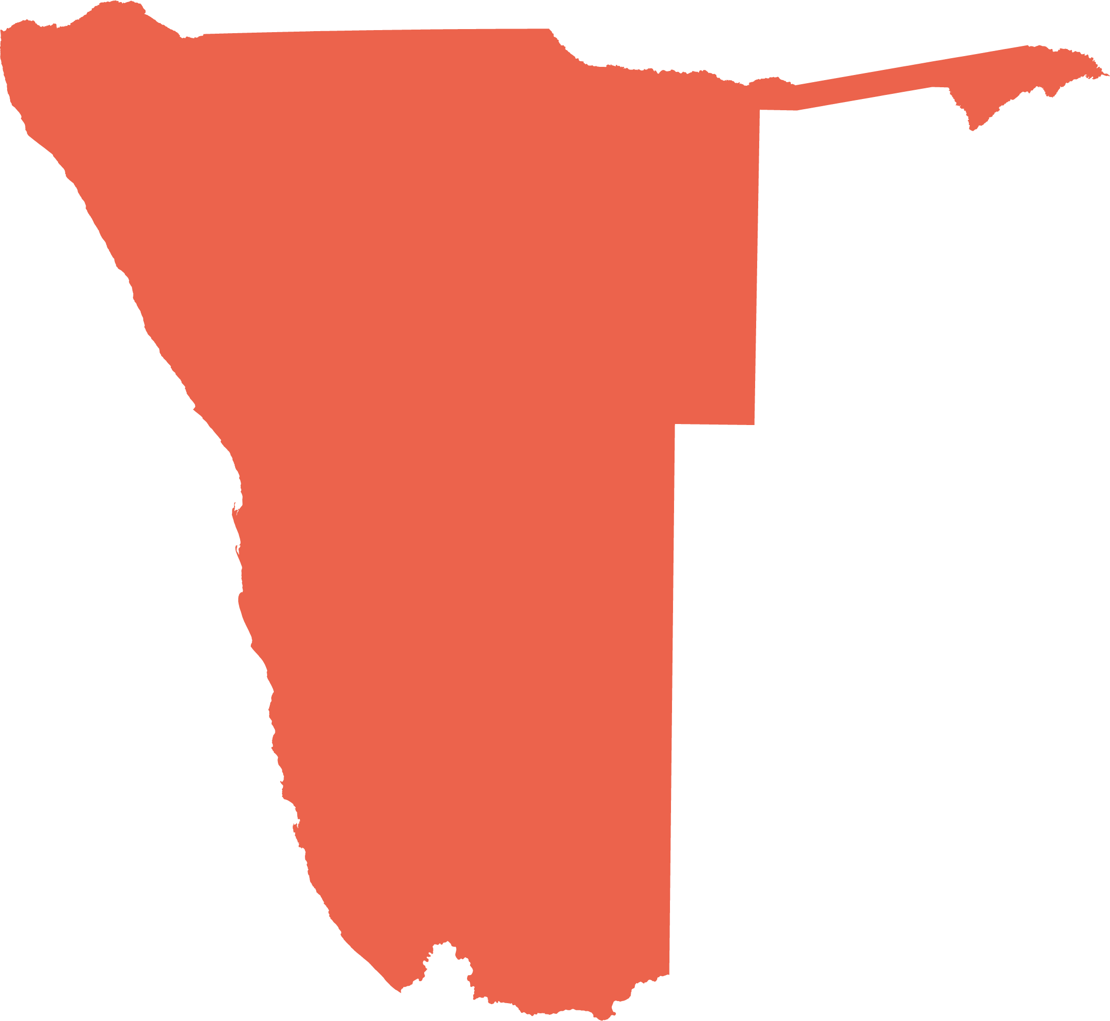
The first map has not been projected, each degree of latitude and longitude being the same size as the next. On the right (bottom, on smaller screen), however, the map has been projected and the shape of Namibia looks more realistic; southern Namibia appears narrower because the imaginary lines of longitude, which are about 111 kilometres apart at the equator, converge until they meet at the South and North poles. Horizontal lines of latitude are imaginary lines that form parallel rings around the earth, as they are depicted in the unprojected map. In the projected map on the right, they curve a little because the projection attempts to correct the map for the fact that Earth is spherical. The straight line that forms the border between Namibia and Angola also curves slightly.
All the maps in this atlas that show the whole of Namibia are drawn using an Albers equal-area projection. As the name suggests, this projection reflects true surface area for the entire country, and for smaller areas within it. The projection is based on the World Geodetic System 1984 (WGS 84) as its reference ellipsoid, with a central meridian of 18.5 degrees east, a reference and first parallel at 23 degrees south and a second parallel at 19 degrees south.
