

Geology16
A great deal has happened during the 4,543,000,000 (4.5 billion) years of Earth's history. Continents have drifted across the globe; ocean floors were crumpled and raised into mountain belts; seas were formed where continents split; big meteorites and asteroids bombarded the planet; and enormous volcanoes produced lava that covered tens of thousands of square kilometres. At different times, much of what is now Namibia has been beneath water, lava or ice, and now large parts of it is under sand. Namibia has therefore been subjected to many different conditions, all of which have shaped its structure. While the country is young, most of the land is ancient.
Namibia's geological foundations sit on the Congo and Kalahari cratons. These are stable masses of basement rock reaching up from the mantle, most of which lie about 40 kilometres below the earth's surface. The country's journey through time therefore largely follows that of the Congo and Kalahari cratons.
The pages that follow recount present knowledge of Namibia's geological history and describe how and when Namibia's foundations were pieced together. Major changes in the movements of the Congo and Kalahari cratons divide this history into four periods. Repeated collisions and break-ups of these cratons not only shaped the land, but also created mountains, basins and seas at various times. Great changes in climate occurred as ice ages, extreme aridity or hot, humid tropical conditions, for example, came and went. Some of these changes occurred as a result of Namibia drifting across the globe.
2.16 Major rock formations and groups


About one third of Namibia is covered in sand, most of which was deposited within the last few million years. What lies beneath the sand is generally poorly known. By contrast, geologists have done much to map, analyse, drill and understand the nature and history of the remainder of Namibia's land surface. This work is never simple, but the task has been aided by the exposure of rocks in many areas. This is largely thanks to the relatively sparse covering of plants and soil, which are both consequences of Namibia's long-standing dry climate.
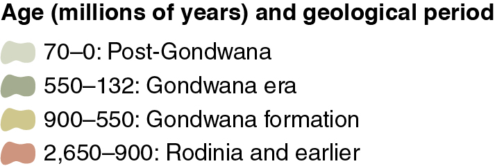
This map distinguishes major groups of rocks, each group being of the same type formed at similar times and by similar processes. Only the largest groups are shown here, since small areas would not be visible at this scale. The legend is best read by following the oldest units at the bottom to the youngest ones at the top of the sequence. The geological times given here are broad starting times for each unit. Some units developed over short periods, while others came about from processes that lasted tens of millions of years. The legend is divided into four blocks, each corresponding to one of Namibia's four geological periods, described in the pages that follow.
