The Cuvelai
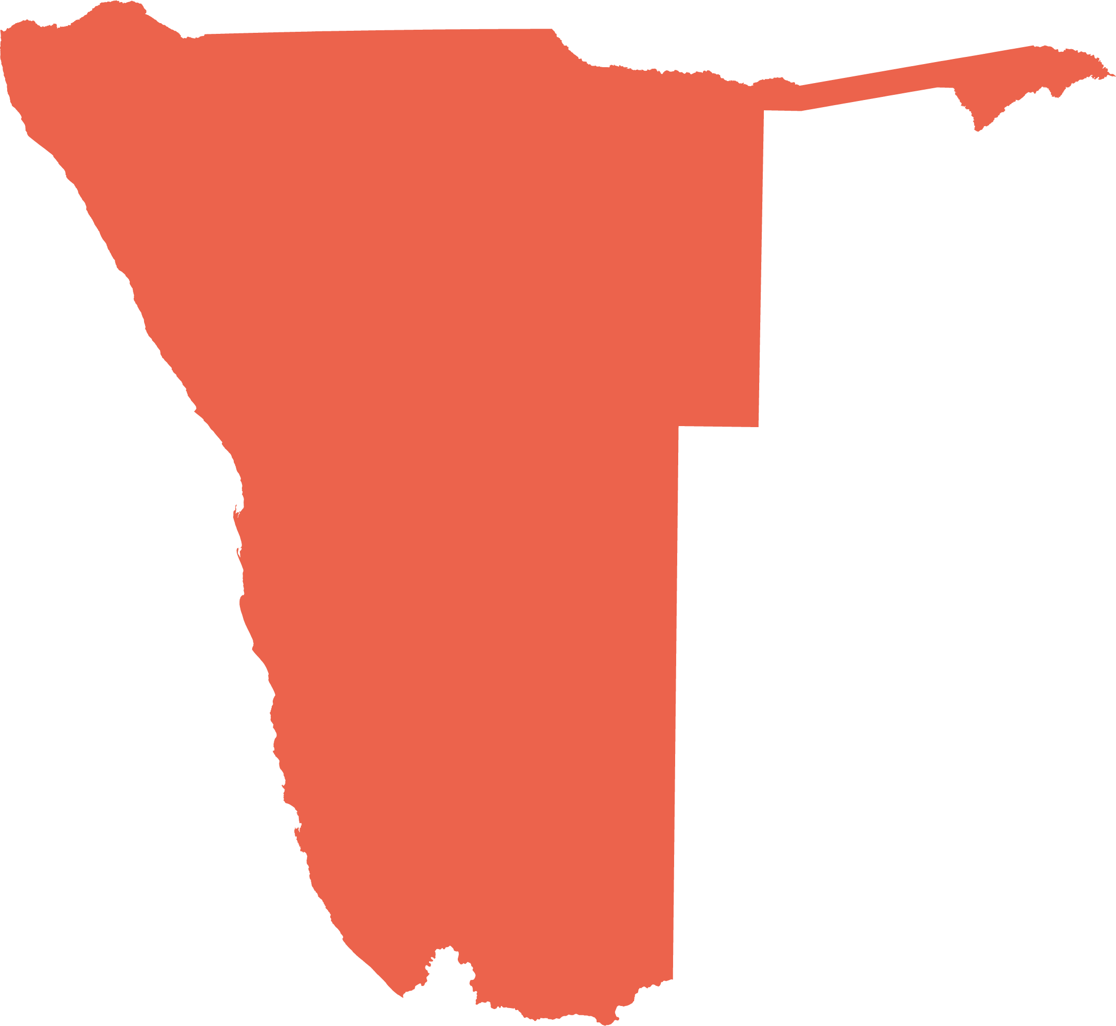
The Cuvelai is a large flat, basin-shaped landscape. About one third of the basin lies in Angola while the southern two thirds are in Namibia. The formation of the Cuvelai Basin – often referred to as the Owambo Basin by geologists – is a consequence of processes which occurred when the supercontinent Gondwana was formed about 550 million years ago. The most remarkable feature of it is the network of channels, locally known as iishana or simply 'shana', a hydrological feature that is perhaps globally unique. It is within this drainage area where most people in the basin (and indeed Namibia) live because its soils are relatively fertile.
4.09 Owambo Basin and Cuvelai Drainage system9

In Angola, much of the Cuvelai Drainage stretches between the Kunene River (called Rio Cunene in Angola) in the west and the Okavango River (Rio Cubango) in the east. It is from this upper catchment in southern Angola that the Cuvelai receives most of its water. From there, about 100 channels (iishana) cross into Namibia and then progressively merge into the Omadhiya lakes from where water sometimes flows south into Etosha Pan, its final destination. As a result of gentle gradients, water flows slowly, but infiltration is limited since most of the channels have beds of impermeable clay or saline soil. The channels vary in width from less than ten metres to over a kilometre. Surface water flows are entirely contained within the Owambo Basin, with all water either evaporating or seeping into the ground; river basins with these characteristics are called 'endorheic'.
To the east and south of the Cuvelai Drainage are two areas where there is little surface water and few people live. The northeastern area has a few ephemeral drainage lines and a deep cover of aeolian sand which holds little water and few nutrients. Following good rains, water may flow along the drainage lines but the flows seldom go far or reach the network of iishana channels. Much of the inactive drainage area to the south and west is rocky, in part of Otavi Group dolomites (figure 2.16) in gentle hills which overly karst aquifers, and partly of flatter areas dominated by calcretes which formed from calcium carbonates that dissolved out of the dolomites. There is little surface water in this southern area.

Photo: H Denker

Photo: J Mendelsohn
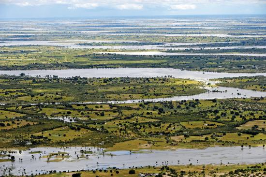
It is usually hard to find much surface water in the Cuvelai, but that changes every few years. This is the Cuvelai in March 2011 when large areas were flooded, either by water flowing through its network of channels or by local rain filling the thousands of tiny pans that dot the landscape.
4.10 Frequency and severity of flooding in the Cuvelai between 1941 and 202110


Following exceptionally wet seasons, a large part of the Cuvelai is transformed into a vast wetland. Such flooding events are known as 'omafundja' and they bring great quantities of fish to the southern reaches of the basin, but they can also be destructive, damaging roads and buildings, destroying crops and even causing drownings.
Estimates on the extent of flooding are available for 68 of the past 81 years. During these 68 years, there were no significant water flows in 23 of them (34 per cent), small flows in 14 (21 per cent), medium flows in 20 years (29 per cent) and major flows in 11 years (16 per cent). Omafundja – medium or major flows – thus occurred almost every second year on average, with major floods reported at an average interval of six years.

