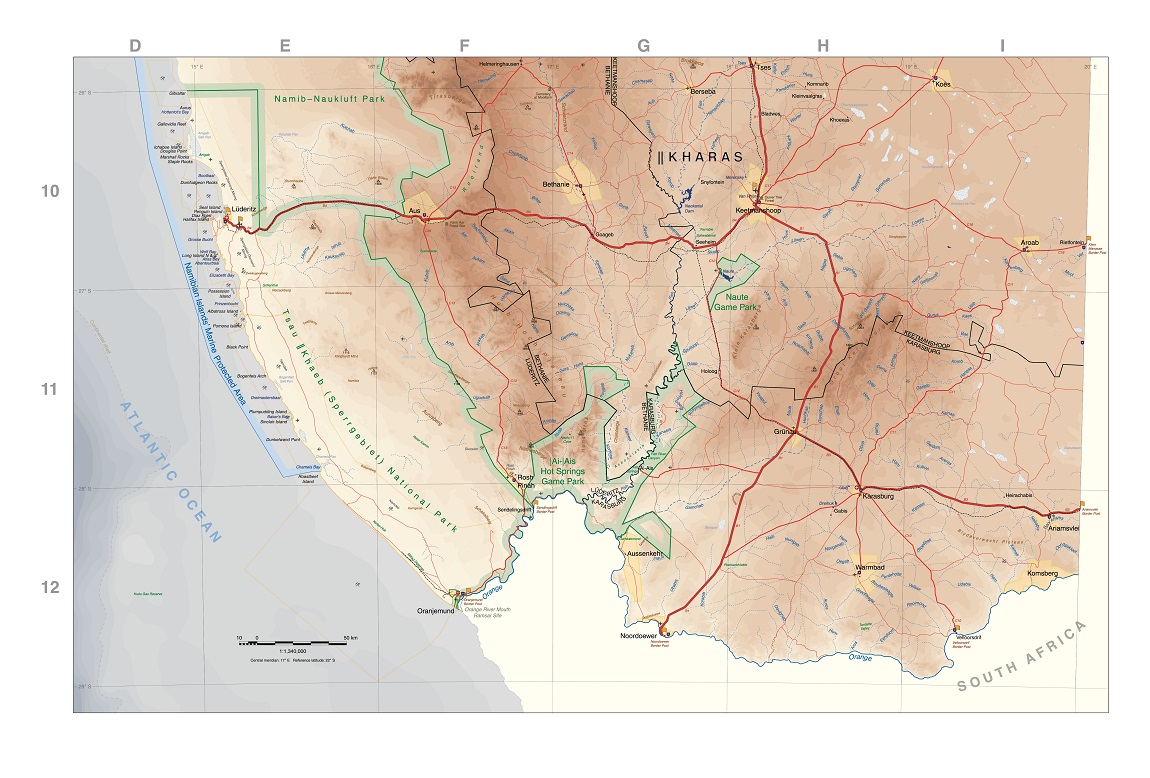
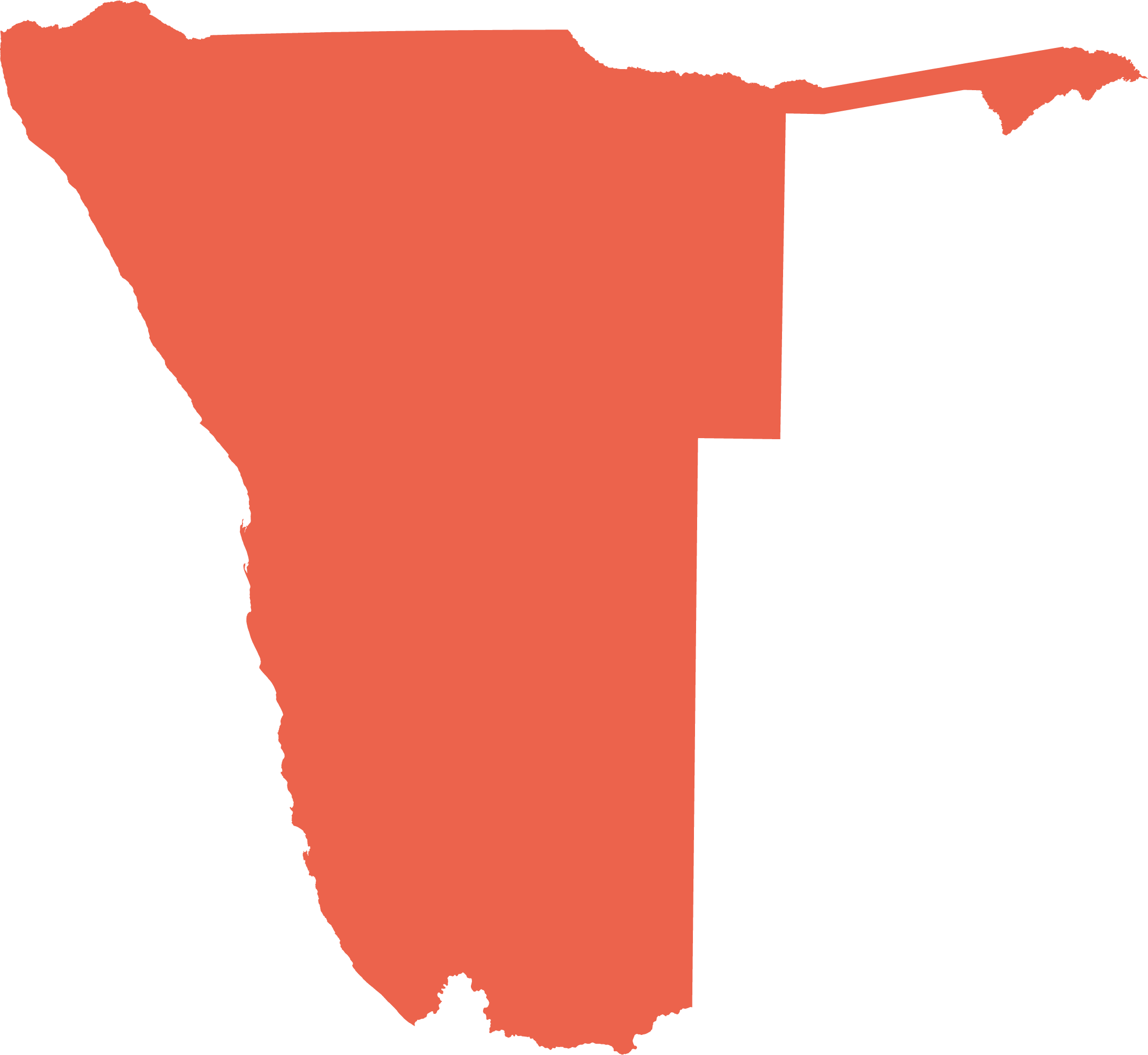
Features are shown in the following seven detailed maps, which cover the whole country. Each map overlaps with those that surround it, and all the maps are printed at a scale of 1:1,340,000. The grid around the maps is in degrees of latitude and longitude, while the letters A, B, C, etc. and the numbers 1, 2, 3, etc. given to the grids are used as references for place names listed in the gazetteer. A Transverse Mercator projection was used for these maps, the parameters for which are printed below each map's scale bar.
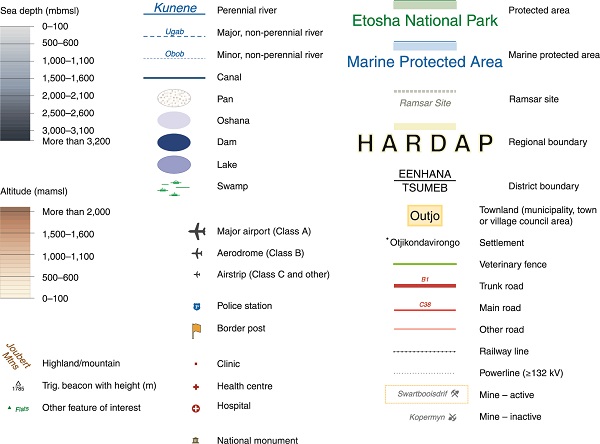
Map 1

Map 2

Map 3
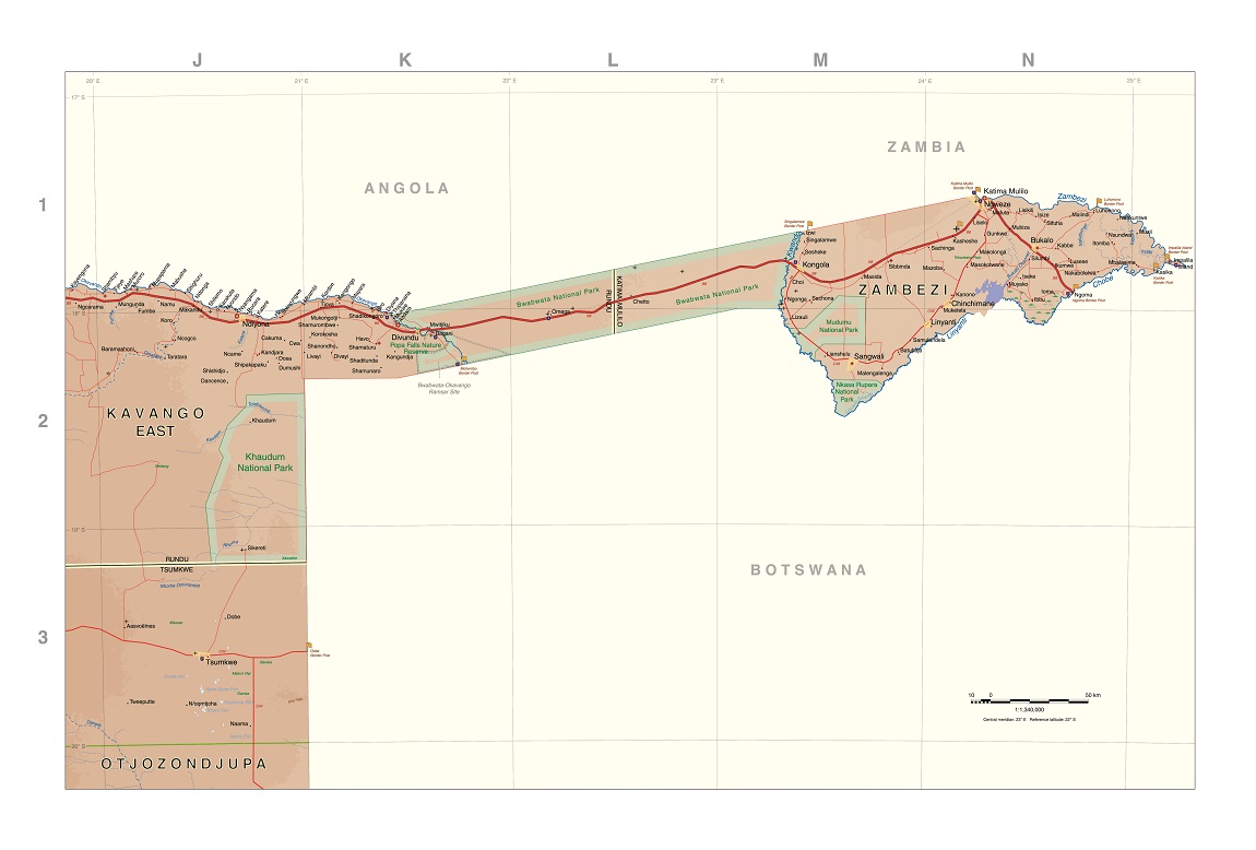
Map 4
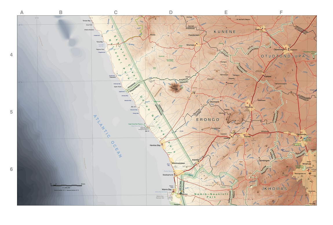
Map 5
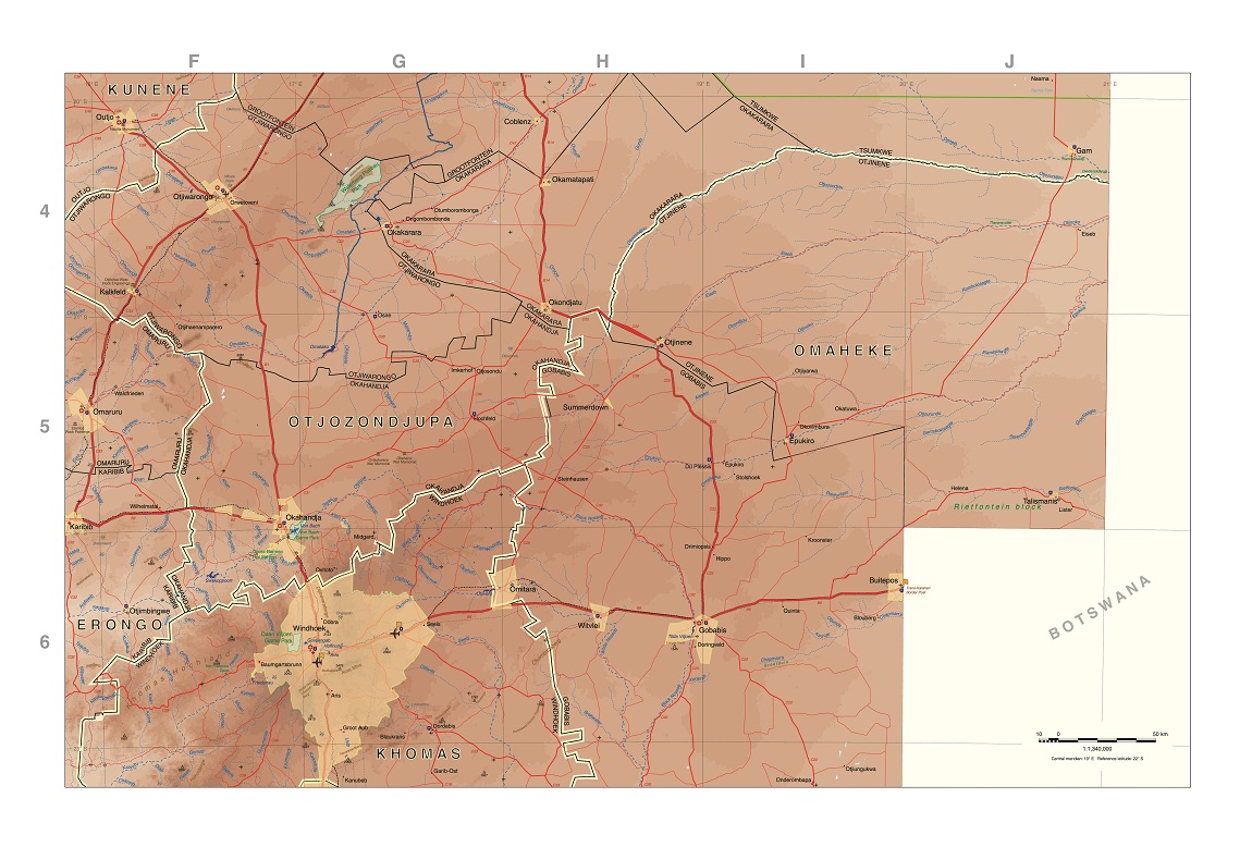
Map 6

Map 7
